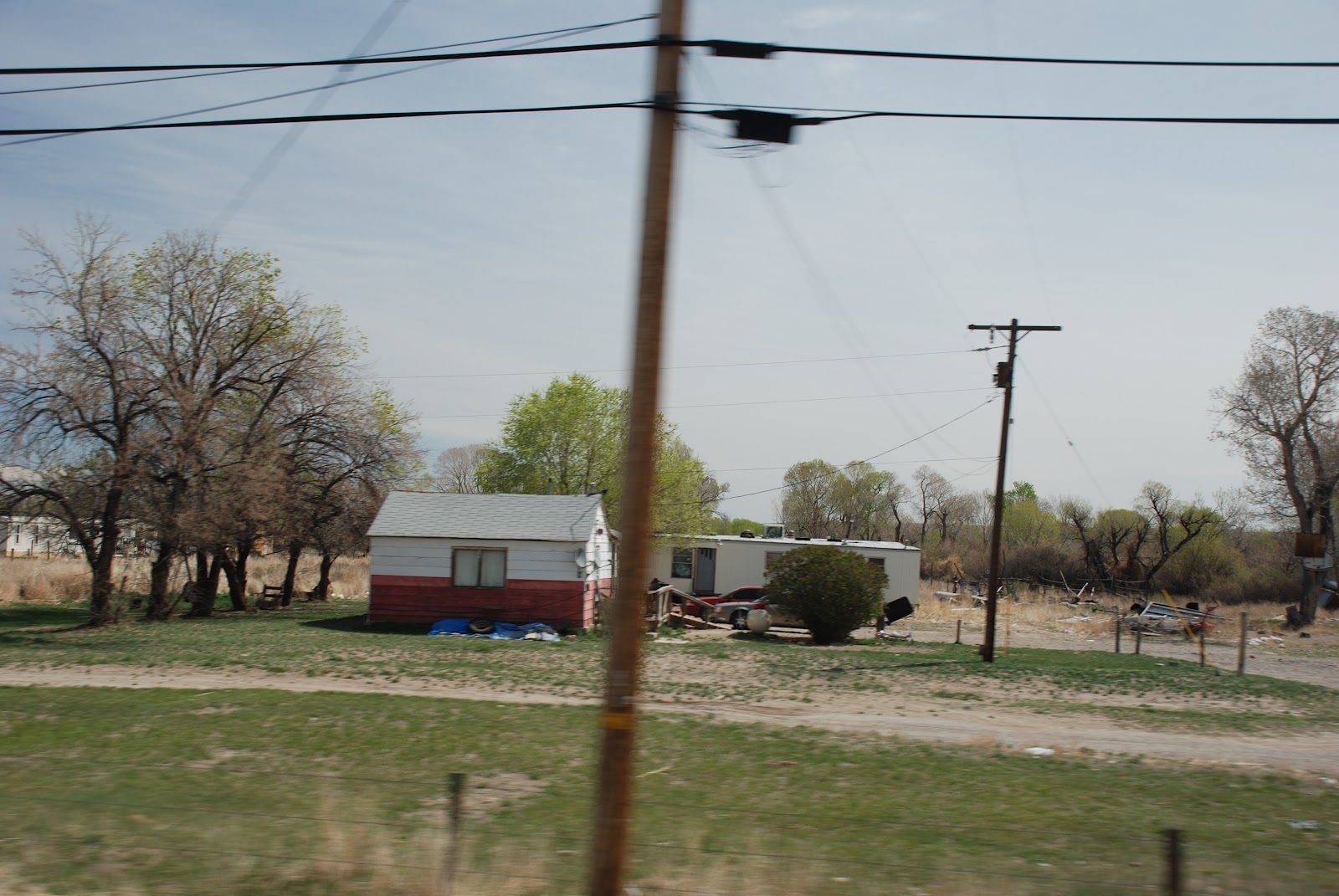
I've never been so happy to leave a town
as I was when we left Rawlins, Wyoming.
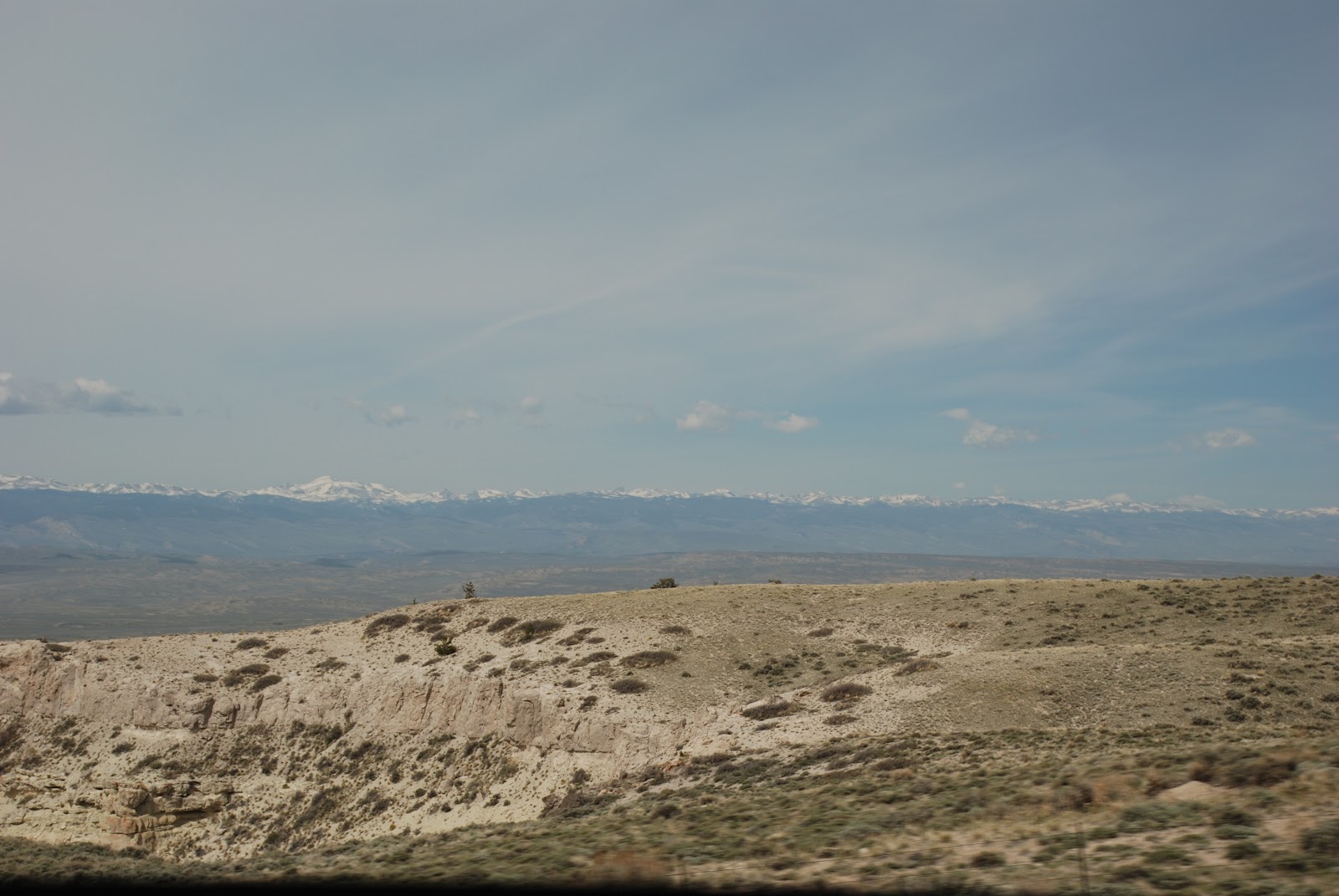
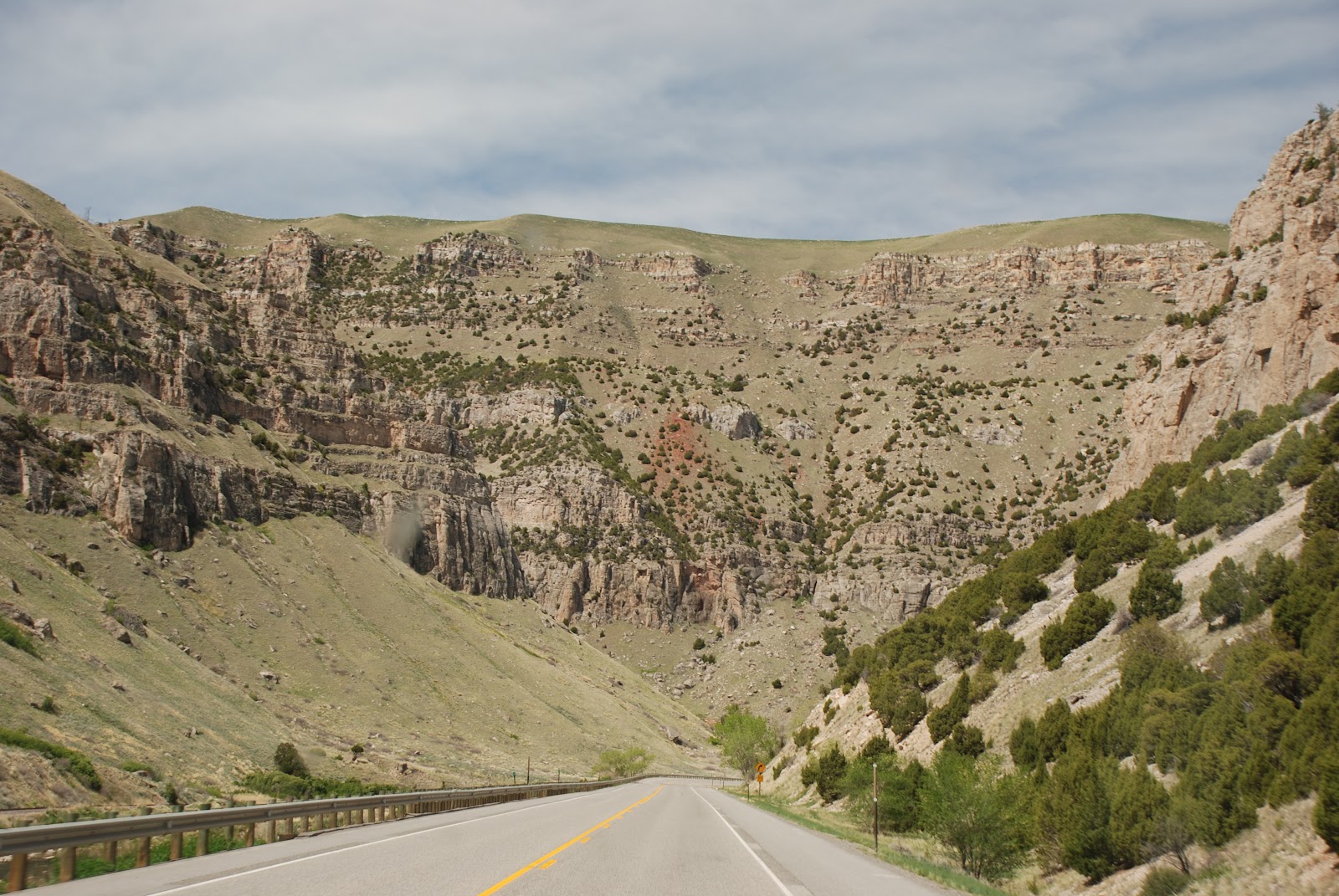
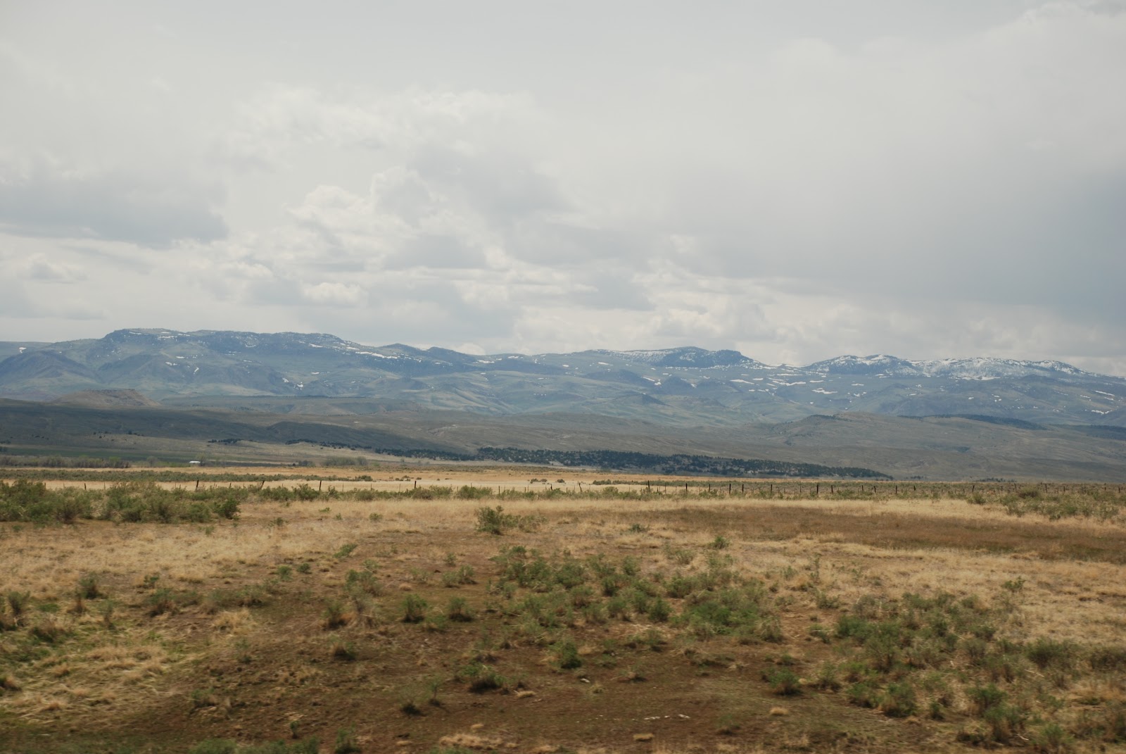
Just sit back and enjoy the scenery.


We have sand fences on the Outer Banks.
Back in the 80s,
to make money,
Mr. H. and I would go up to Carova and Corolla
in the North Beaches
and put up sand fences for the Rich Folk.
We took our babies with us
and they loved the wide beaches there.
These must be Snow Fences.
They are set at precise angles.
To keep the snow from drifting onto the highway.


Pronghorn antelope.


Wyoming
The Sweetwater Valley
The Sweetwater Valley is the mid-section of the 2000 mile-long
Oregon Trail. West of Casper, Wyoming, branches of that trail, meld into a single transportation corridor and here, paralleling the serpentine Sweetwater River, the trail approaches the base of South Pass. On the other side is "Oregon Country" where routes diverge toward Utah, California, and Oregon.
For a week emigrants plodded this stretch of high altitude, semiarid desert.
Everyday, more of the same - alkali, sage, and sand - a continuing American Sahara. "How I long for a timbered country," wrote one traveler. ... "In a thousand miles I have not seen a hundred acres of wood. All that comes near to arborification is a fringe of cottonwood and willows along the banks of creeks and river. These everlasting hills have an everlasting curse of barrenness..."
For others, however, the Sweetwater was a relatively agreeable part of the journey. It was summer. The river was low and clear. And there was grass for the stock. Days were bright and mild, and scenery was plentiful. "Still by the Sweet Water. The valley is becoming more narrow and the stream more rapid. In advance and a little to the north of our trail we can see the Wind River Mountains. Their lofty summits are covered with snow, and in their dazzling whiteness appear truly sublime."

Sweetwater Willows
In summer, the trilling "Kroo-oo-oo of the sandhill crane is heard along the Sweetwater River. The endangered whooping crane has been seen in the marshy meadows immediately south of this spot. The Sweetwater's wide floodplain, enhanced by the irrigated and naturally occurring wet meadows, supports wildlife as large as the 1000 pound moose and as small as the 1/4 ounce pygmy shrew. The vegetation zone in the river's floodplain is called riparian habitat. Willows are often dominant woody vegetation in Wyoming's riparian habitats. Willows provide food and cover for the moose in winter, food and dam building materials for the beaver, and streamside shade and insects for fish.
Willow roots also help stabilize streambanks. Without stabilizing vegetation, the streambanks erode and spring floods cut deeper into the riverbed. This accelerates erosion and affects wildlife. Unstable streambanks result in a loss of land, soil moisture, and vegetation growth. This affects wildlife and livestock, and ultimately man. Willows are one of the valuable plants that help maintain a healthy and diverse wildlife community.

Sweetwater Station
The modern burg of Sweetwater Station is at the intersection of US HWY 207 and State Route 153 in central Wyoming along the Sweetwater River. It is a place of scenic beauty and historic significance. Prehistoric groups camped along the Sweetwater River for over 12,000 years. Archaeological sites with pit houses dating from 5000-7000 years ago were found near Split Rock and Jeffrey City to the east. The Oregon/Mormon Trail passed just to the south and includes what is called the sixth crossing of the Sweetwater River. At this crossing in October of 1856 the Willie Handcart Company was stranded in a blizzard until rescued by their Mormon brethren sent by Brigham Young from Salt Lake City. In the late 1800s the Rawlins to Fort Washakie Road was established as a stage and wagon freight route. It passed just to the north of Sweetwater Station. This road was designated the Chief Washakie Trail in honor of the great chief of the Wind River Reservation. Washakie was instrumental in establishing this road and the tribe under his command organized its own freight teams and wagons to move goods and people from Rawlins to the reservation. From this point north along Highway 135 you can see the spectacular escarpment of Beaver Rim, which contains 65 millions years of sedimentary formations. Below Beaver Rim is the Wind River Basin in which the town of Riverton and a portion of the Wind River Reservation are located.


Moving into Indian reservations.


Going into Thermopolis.
City of heat.
Known for its hot springs.
City of heat.
Known for its hot springs.


Natural springs formed this.

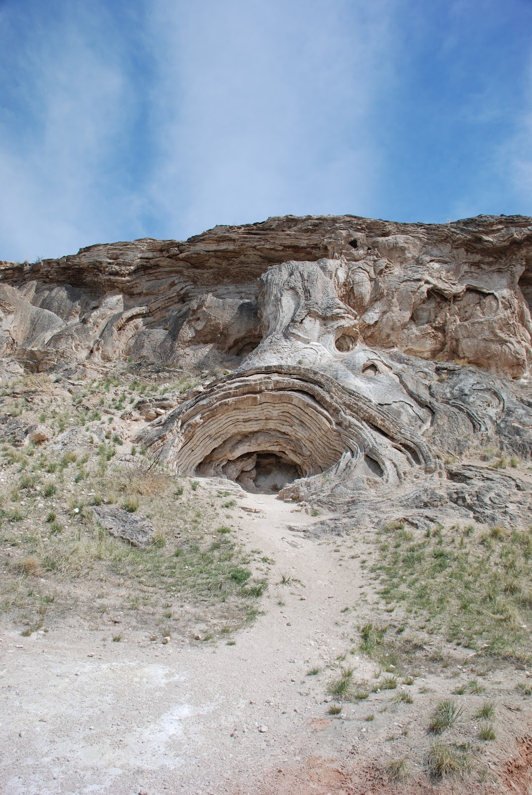

We had a quick trip in Thermopolis.


No comments:
Post a Comment